
Start Now

+254722784250
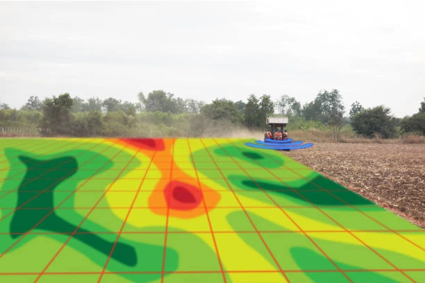
This course equips participants with the knowledge and practical skills required to use remote sensing and geospatial technologies for agricultural monitoring, crop health assessment, yield estimation, and farm management. It focuses on satellite imagery analysis, vegetation indices, crop classification, drought monitoring, precision agriculture applications, and decision support for sustainable farming. Participants will learn how to apply remote sensing tools to improve agricultural productivity and resource efficiency.
By the end of this course, participants will be able to:
Module 1: Introduction to Remote Sensing in Agriculture
Module 2: Satellite Imagery and Data Sources
Module 3: Vegetation Indices and Crop Health Monitoring
NDVI = \frac{NIR – Red}{NIR + Red}
Module 4: Crop Classification and Land Use Mapping
Module 5: Crop Yield Estimation and Forecasting
Module 6: Drought and Climate Impact Monitoring
Module 7: Precision Agriculture Applications
Module 8: Pest and Disease Detection Using Remote Sensing
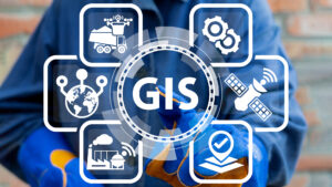
Module 9: GIS and Remote Sensing Integration Tools
Module 10: Capstone Project and Case Studies
We use cookies to improve your experience, including essential cookies required for the website to function. By continuing, you agree to our use of cookies.
We use cookies to help you navigate efficiently and perform certain functions. You will find detailed information about all cookies under each consent category below.
Necessary cookies are required to enable the basic features of this site, such as providing secure log-in or adjusting your consent preferences. These cookies do not store any personally identifiable data.
Analytical cookies are used to understand how visitors interact with the website. These cookies help provide information on metrics such as the number of visitors, bounce rate, traffic source, etc.
Advertisement cookies are used to provide visitors with customised advertisements based on the pages you visited previously and to analyse the effectiveness of the ad campaigns.
Functional cookies help perform certain functionalities like sharing the content of the website on social media platforms, collecting feedback, and other third-party features.
We use cookies to improve your experience, including essential cookies required for the website to function. By continuing, you agree to our use of cookies.
We use cookies to help you navigate efficiently and perform certain functions. You will find detailed information about all cookies under each consent category below.
Necessary cookies are required to enable the basic features of this site, such as providing secure log-in or adjusting your consent preferences. These cookies do not store any personally identifiable data.
Analytical cookies are used to understand how visitors interact with the website. These cookies help provide information on metrics such as the number of visitors, bounce rate, traffic source, etc.
Advertisement cookies are used to provide visitors with customised advertisements based on the pages you visited previously and to analyse the effectiveness of the ad campaigns.
Functional cookies help perform certain functionalities like sharing the content of the website on social media platforms, collecting feedback, and other third-party features.