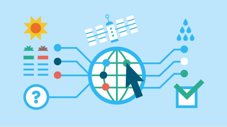
This course equips participants with the knowledge and practical skills required to analyze, model, and map hydrological systems and water resources using Geographic Information Systems (GIS) and remote sensing tools. It focuses on watershed analysis, surface and groundwater mapping, rainfall-runoff modeling, flood risk assessment, and sustainable water resource management. Participants will learn how to use spatial data to support water planning, conservation, and disaster risk reduction.
Target Groups
- Hydrologists and water resource engineers
- Environmental scientists and ecologists
- GIS analysts and geospatial technicians
- Urban and regional planners
- Disaster risk management professionals
- Agricultural and irrigation specialists
- Government water and environmental agencies
- Students pursuing hydrology, geography, or environmental sciences
Course Objectives
By the end of this course, participants will be able to:
- Understand principles of hydrology and water resource mapping
- Use GIS tools for hydrological analysis
- Delineate watersheds and drainage systems
- Map surface and groundwater resources
- Analyze rainfall and runoff patterns
- Assess flood risks and water hazards
- Apply spatial modeling for water management
- Support sustainable water resource planning
- Integrate remote sensing in hydrological studies
- Communicate hydrological insights effectively
Course Modules
Module 1: Introduction to Hydrology and Water Resource Mapping
- Definition and scope of hydrology
- Hydrological cycle and processes
- Importance of water resource mapping
- Overview of GIS in hydrology
- Applications in water management
Module 2: Fundamentals of GIS for Hydrological Analysis
- GIS concepts and spatial data types
- Raster and vector data in hydrology
- Coordinate systems and projections
- Data sources for water studies
- Data preparation and management
Module 3: Watershed and Drainage Basin Analysis
- Watershed concepts and structure
- Delineation of drainage basins
- Stream network analysis
- Flow direction and accumulation models
- Catchment area mapping
Module 4: Surface Water Resource Mapping
- Rivers, lakes, and reservoirs mapping
- Surface water monitoring techniques
- Seasonal water variation analysis
- Water body classification
- Remote sensing for surface water
Module 5: Groundwater Resource Mapping
- Aquifer systems and groundwater flow
- Groundwater potential mapping
- Recharge and discharge zones
- Well and borehole data analysis
- Groundwater vulnerability assessment
Module 6: Rainfall and Runoff Analysis
- Rainfall data collection and interpretation
- Rainfall spatial distribution mapping
- Runoff estimation methods
- Hydrological modeling basics
- Climate influence on water systems
Module 7: Flood Risk and Hazard Mapping
- Flood types and causes
- Floodplain delineation
- Flood susceptibility mapping
- Risk and vulnerability analysis
- Early warning systems and modeling
Module 8: Water Quality and Environmental Monitoring
- Water quality indicators and parameters
- Pollution source mapping
- Environmental impact on water systems
- Monitoring techniques using GIS
- Sustainable water quality management
Module 9: Hydrological Modeling and Decision Support
- Introduction to hydrological models
- GIS-based water resource modeling
- Scenario analysis and forecasting
- Decision support systems for water management
- Policy and planning applications
Module 10: Capstone Project and Case Studies
- Real-world hydrology mapping scenarios
- Group project: watershed analysis and mapping
- Flood risk assessment exercise
- Water resource planning case study review
- Emerging trends in smart water systems, AI modeling, and geospatial hydrology applications