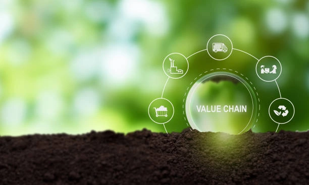
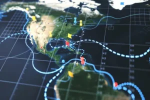
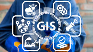
This course equips participants with the knowledge and practical skills required to apply Geographic Information Systems (GIS) in agriculture and agricultural value chains. It focuses on spatial data analysis, precision agriculture, crop monitoring, supply chain mapping, market access optimization, and resource management. Participants will learn how to use GIS tools to improve agricultural productivity, efficiency, and decision-making across the entire value chain.
Target Groups
- Agricultural extension officers and agronomists
- Farmers and agribusiness professionals
- Supply chain and logistics managers
- Food security and rural development officers
- Environmental and natural resource managers
- GIS analysts and geospatial technicians
- Government agriculture planners and policymakers
- Students pursuing agriculture, GIS, or environmental sciences
Course Objectives
By the end of this course, participants will be able to:
- Understand applications of GIS in agriculture and value chains
- Use spatial data for agricultural planning and decision-making
- Apply GIS tools in precision agriculture
- Monitor crops and soil conditions using geospatial data
- Analyze agricultural supply chains and distribution networks
- Improve resource allocation and farm productivity
- Map agricultural markets and access routes
- Support food security and sustainability initiatives
- Integrate GIS into agricultural planning systems
- Strengthen data-driven agricultural management
Course Modules
Module 1: Introduction to GIS in Agriculture
- Overview of GIS technology
- Role of GIS in modern agriculture
- Agricultural value chain concepts
- Importance of spatial data in farming
- Applications in food systems
Module 2: Spatial Data in Agriculture
- Types of agricultural spatial data
- Data collection methods (GPS, drones, satellites)
- Soil and land use data analysis
- Climate and weather data integration
- Data quality and management
Module 3: Precision Agriculture Concepts
- Definition and principles of precision farming
- Site-specific crop management
- Variable rate application techniques
- Yield mapping and analysis
- Farm efficiency optimization
Module 4: Crop Monitoring and Analysis
- Remote sensing for crop health monitoring
- Vegetation indices and analysis
- Pest and disease detection
- Growth stage monitoring
- Seasonal crop tracking
Module 5: Soil and Land Suitability Analysis
- Soil mapping and classification
- Land suitability assessment
- Terrain and elevation analysis
- Irrigation planning and water management
- Sustainable land use planning
Module 6: Agricultural Value Chain Mapping
- Understanding agricultural value chains
- Mapping production, processing, and distribution
- Identifying bottlenecks in supply chains
- Transportation and logistics analysis
- Market access mapping
Module 7: GIS Tools and Technologies in Agriculture
- Overview of GIS software for agriculture
- Mobile GIS and field data collection tools
- Remote sensing platforms
- Drone and satellite integration
- Data visualization and dashboards
Module 8: Agricultural Resource and Risk Management
- Water resource management using GIS
- Climate risk assessment
- Drought and flood mapping
- Resource allocation optimization
- Disaster risk reduction in agriculture
Module 9: Decision Support Systems in Agriculture
- GIS-based decision support systems
- Data-driven agricultural planning
- Predictive modeling for yields
- Market forecasting tools
- Policy and planning support systems
Module 10: Capstone Project and Case Studies
- Real-world agricultural GIS applications
- Group project: designing a farm mapping system
- Value chain analysis exercise
- Crop monitoring simulation
- Emerging trends in agri-tech, GIS, and smart farming systems