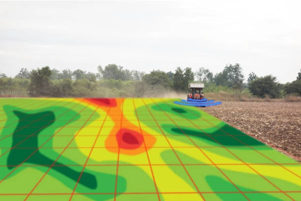
This course equips participants with the knowledge and practical skills required to analyze and map the relationship between disease patterns and land use using Geographic Information Systems (GIS). It focuses on spatial epidemiology, disease surveillance, land use classification, environmental risk factors, spatial analysis techniques, and decision-support mapping. Participants will learn how to use geospatial tools to support public health planning, disease prevention, and environmental health assessments.
Target Groups
- Public health officers and epidemiologists
- GIS analysts and geospatial technicians
- Environmental health specialists
- Urban and regional planners
- Government health and policy officers
- Researchers in health, geography, and environmental sciences
- NGOs working in health and development
- Students pursuing public health, GIS, or environmental studies
Course Objectives
By the end of this course, participants will be able to:
- Understand principles of disease and land use mapping
- Apply GIS tools in spatial epidemiology
- Analyze relationships between environment and disease distribution
- Classify and interpret land use data
- Identify disease hotspots using spatial analysis
- Support public health decision-making with geospatial data
- Integrate environmental and health datasets effectively
- Improve disease surveillance and monitoring systems
- Communicate spatial health insights clearly
- Strengthen evidence-based health planning
Course Modules
Module 1: Introduction to Disease and Land Use Mapping
- Definition and importance of spatial epidemiology
- Role of GIS in public health
- Relationship between land use and disease spread
- Overview of disease mapping concepts
- Applications in health planning and policy
Module 2: Fundamentals of GIS and Spatial Data
- GIS concepts and components
- Vector and raster data in health mapping
- Coordinate systems and spatial reference
- Data collection methods in health GIS
- Data quality and accuracy considerations
Module 3: Disease Surveillance and Data Sources
- Health data collection systems
- Disease reporting and surveillance systems
- Spatial health data integration
- Epidemiological data management
- Privacy and ethical considerations
Module 4: Land Use Classification and Mapping
- Types of land use categories
- Remote sensing for land use mapping
- Land cover vs land use concepts
- Data sources for land use mapping
- Change detection in land use
Module 5: Spatial Analysis in Disease Mapping
- Hotspot and cluster analysis
- Buffer and proximity analysis
- Spatial interpolation techniques
- Correlation between environment and disease
- Risk mapping and modeling
Module 6: Environmental Risk Factors and Health
- Environmental determinants of disease
- Water, air, and soil-related health risks
- Urbanization and disease spread
- Climate and seasonal impacts
- Vulnerability assessment techniques
Module 7: GIS Tools for Health and Land Use Mapping
- Overview of GIS software platforms
- Remote sensing tools for environmental analysis
- Mobile data collection tools
- Visualization and mapping dashboards
- Integration of multiple datasets
Module 8: Disease Pattern Analysis and Visualization
- Mapping disease distribution patterns
- Time-series analysis of disease outbreaks
- Visualizing spatial health data
- Creating thematic health maps
- Interpretation of spatial results
Module 9: Decision Support for Public Health
- GIS-based decision support systems
- Supporting outbreak response planning
- Resource allocation using spatial data
- Early warning systems for diseases
- Policy and planning applications
Module 10: Capstone Project and Case Studies
- Real-world disease mapping scenarios
- Group project: mapping disease hotspots
- Land use and health risk analysis exercise
- Case study review of disease outbreaks
- Emerging trends in spatial epidemiology and health GIS applications